What is it about?
Discussion on the use of diverse elevation models to recreate the road and its roadsides in 3D sight distance estimation of in-service highways. The elevation models were derived from airborne and terrestrial LiDAR data and may comprise landscape features affecting sight distance on highways.
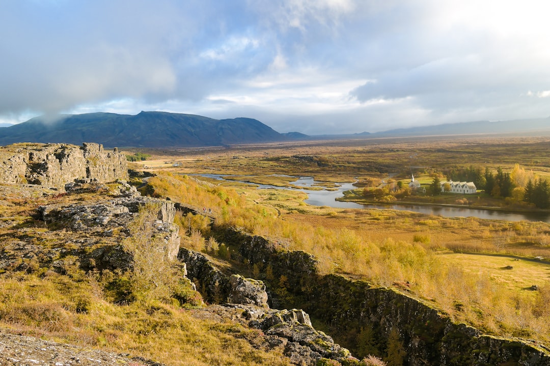
Featured Image

Photo by Karsten Würth (@karsten.wuerth) on Unsplash
Why is it important?
LiDAR data are a valuable source for highway construction and management. Hence the capabilities of this technology must be researched, in particular its application to sight distance and, therefore, traffic safety.
Perspectives
This study highlights the difficulties involved in using a cloud point to create a Digital elevation model to shape a piece of alnd and the landscape features.
Dr. César De Santos-Berbel
Universidad Politecnica de Madrid
Read the Original
This page is a summary of: LIDAR-based roadway and roadside modelling for sight distance studies, Survey Review, April 2016, Maney Publishing,
DOI: 10.1179/1752270615y.0000000037.
You can read the full text:
Contributors
The following have contributed to this page


