What is it about?
Coastlines are dynamic environments, with their Eco-geomorphology controlled by a complex range of natural and anthropic processes. Estuarine environments and associated wetland ecosystems are a critical shoreline types with regards to biodiversity, and are particularly susceptible to the influence of sea-level rise.
Featured Image

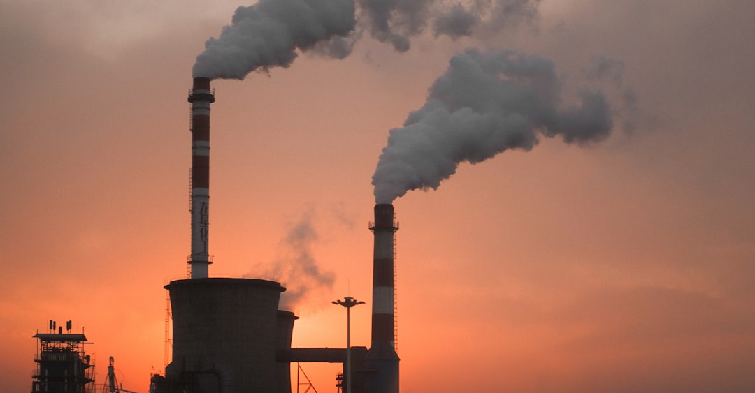
Photo by Tyler Butler on Unsplash
Why is it important?
Findings are expected to occur across the remaining estuaries in southeastern Australia. Applying this broad-scale, multi-strand application of geoinformatics simulation (GIS & RS), together with the various IPCC sea-level rise scenarios, will be necessary to assess future ecosystem sustainability management plans for coastal zones worldwide.
Perspectives
This project applied future sea-level rise of Intergovernmental Panel on Climate Change (IPCC) hydro-scenarios to assess its impact on the eco-geomorphic aspects of coastal ecosystems in terms of risk assessment and sustainability. Comerong Island is used as a case study and is compared with other surrounding ocean-influenced and lagoonal deltas to assess the regional effects of sea-level rise. Applying the IPCC scenarios to the chosen geomorphic coastal data-sets resulted in a hydro-geomorphic model that shows the study site was already under pressure in 2015, with significant land area projected to be lost by 2050 and 2100.
Ali K. M. Al-Nasrawi
University of Wollongong
Read the Original
This page is a summary of: Geoinformatics vulnerability predictions of coastal ecosystems to sea-level rise in southeastern Australia, Geomatics Natural Hazards and Risk, January 2018, Taylor & Francis,
DOI: 10.1080/19475705.2018.1470112.
You can read the full text:
Resources
Contributors
The following have contributed to this page


