What is it about?
From the publication of the first charts of the Louisiana Purchase (1803) to the celebration of the Mexican cession (1848), U.S. cartographers like John Melish, Henry S. Tanner, and S. Augustus Mitchell marshaled their empirical and romantic skill sets to engage willfully and consciously in the work of empire-building. They often manipulated and sometimes invented geographies. As powerful, yet fictive, expressions of dominion, maps significantly impacted the way many Americans viewed expansion by normalizing their territorial ambitions as natural, providential, and inevitable.
Featured Image
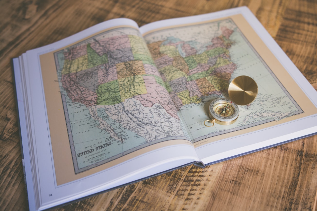
Photo by Chris Lawton on Unsplash
Why is it important?
As agents of empire, mapmakers and their maps significantly impacted the way many Americans viewed their territorial destiny by normalizing their expansionist ambitions as natural and inevitable.
Perspectives
This articled enabled me to indulge in my lifelong fascination of maps.
Jimmy L Bryan
Lamar University
Read the Original
This page is a summary of: Unquestionable Geographies, Pacific Historical Review, January 2018, University of California Press,
DOI: 10.1525/phr.2018.87.4.593.
You can read the full text:
Resources
Contributors
The following have contributed to this page