What is it about?
The article is about employing satellite technologies to discover the changes occurring in dates palm area in Saudi Arabia. Throughout the past 30 year, one satellite image was selected each 10 years and analyzed using remote sensing to detect the change occurred making use of special mathematical formulae.
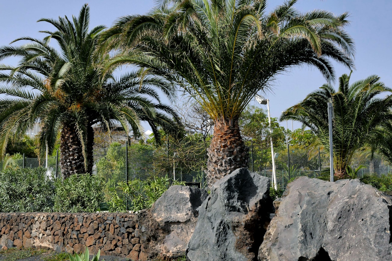
Featured Image

Photo by zibik on Unsplash
Why is it important?
We discovered that the most effective factor in surface cover change was the urban expansion, so that quite big farms has been turned into buildings. On the other hand, sand encroachment was also an influencing factor.
Perspectives
This work is expected to share in understanding the nature of surface cover change the arid-nature of the Middle-East region
Dr. Abdalhaleem Abdalla Hassaballa
University of Khartoum
Read the Original
This page is a summary of: Depicting changes in land surface cover at Al-Hassa oasis of Saudi Arabia using remote sensing and GIS techniques, PLOS One, November 2019, PLOS,
DOI: 10.1371/journal.pone.0221115.
You can read the full text:
Contributors
The following have contributed to this page


