What is it about?
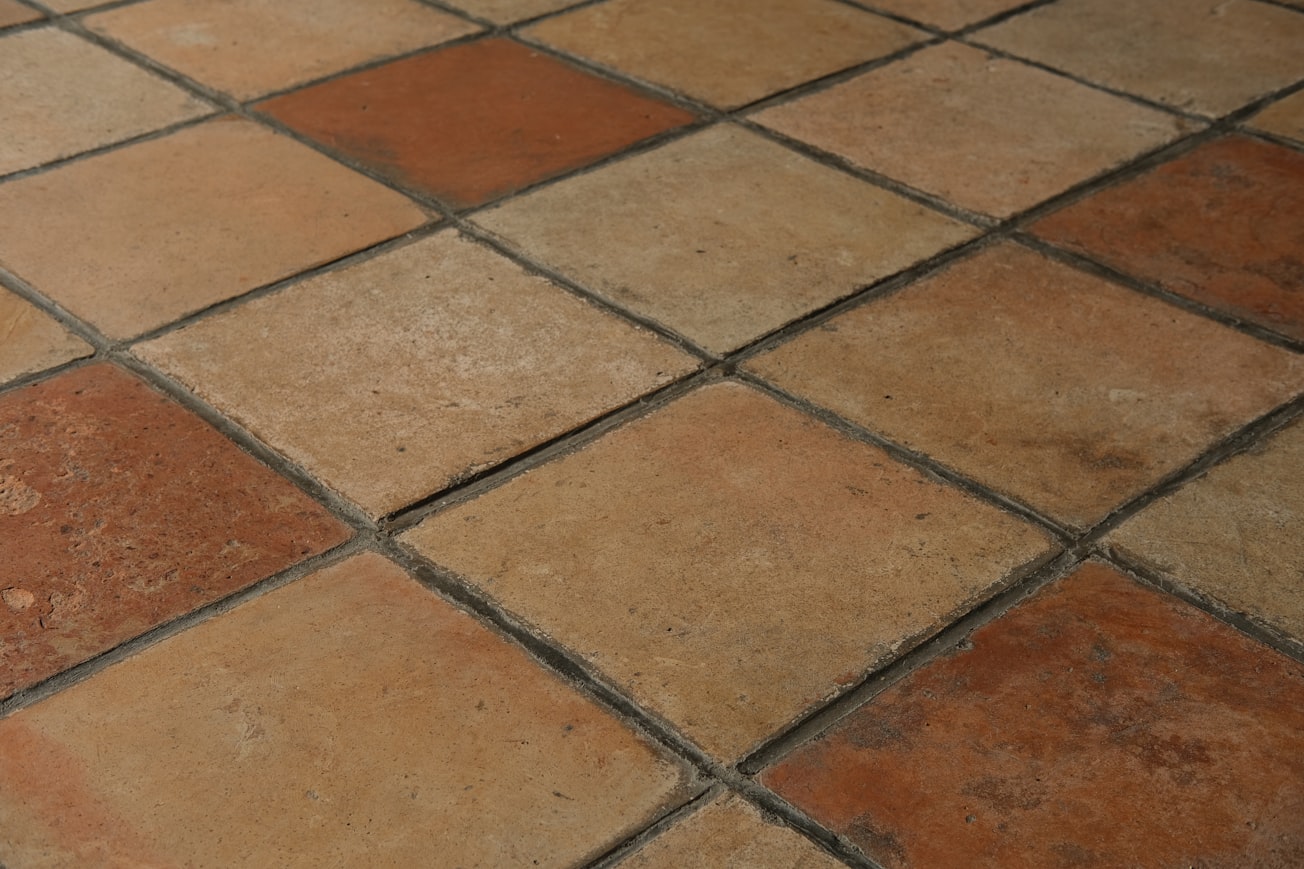
A seismic data set contains information about the subsurface, such as the boundaries between different strata. The interpretation and analysis of such datasets is typically done via the seismic reflectors - which are surfaces that can be mapped in the cube. Seismic Tiles provide a way to automatically identify all such reflector surfaces, and represent them as a set of small, rectangular reflector segments, which is what tiles are, similar to how a set of ceramic tiles combine to make up your bathroom floor. Once the tiles are defined, these can be used as a basis to automatically analyze all the seismic reflectors in a dataset. This is done by automatically extracting a large number of attributes related to each tile. Tiles and attributes are stored in a tabular format, where each row represents a tile, and each column represents an attribute. This is an ideal data set as input to advanced analytics, much better than the raw seismic data.
Featured Image

Photo by Everest Louis on Unsplash
Why is it important?
Seismic datasets are one of the most important inputs to high-impact decisions such as where to drill wells to target hydrocarbon accumulations or inject CO2. A seismic dataset often has 5 dimensions, as in addition to the 3 dimensions of space, there are two additional dimensions: angle and calendar time. The angle dimension represents the angle between the source and receiver in the seismic experiment. Seismic data acquisitions are often repeated over time, typically with yearly intervals, introducing a time dimension. To analyze large, 5D datasets to find and map the features of interest, potentially very subtle, is very time-consuming if done manually, and automated approaches to solve this are thus very valuable.
Perspectives
The Seismic Tiles data structure to represent seismic reflector surfaces is in many ways analogous to the Google Maps - style data structure used to represent roads. Similar to how the Google Maps-style data structure has enabled computers to provide quick, detailed and high-value analysis of map data, Seismic Tiles enables the same for seismic data. Seismic Tiles has the potential to change the working day of a seismic interpreter to the same extent as Google Maps-style technology has changed the working day of a taxi driver.
Øyvind Skjæveland
Equinor ASA
Read the Original
This page is a summary of: Seismic Tiles, a data format to facilitate analytics on seismic reflectors, Geophysics, April 2023, Society of Exploration Geophysicists,
DOI: 10.1190/geo2022-0564.1.
You can read the full text:
Resources
Contributors
The following have contributed to this page


