What is it about?
In this article, we create a computer algorithm that can identify archaeological features from LiDAR data. LiDAR (which stands for "light detection and ranging", or "light and radar") is a technology that can map ground surfaces, even in areas covered by forests and vegetation. It works in a similar way to radar, whereby a beam of light is shot from an airplane to the ground, and the time it takes for the light to return to the sensor is recorded. The different return times can then be used to calculate distance, and by extension, elevation on the ground surface. Using this LiDAR data, we designed a computer model to use characteristics like shape, size, and height to look for patterns. Patterns that look similar to known archaeological mounds were evaluated. After examining the results, we found that the algorithm detected mound deposits made by Native Americans thousands of years ago. We identified 186 potential archaeological features that have never been discovered before.
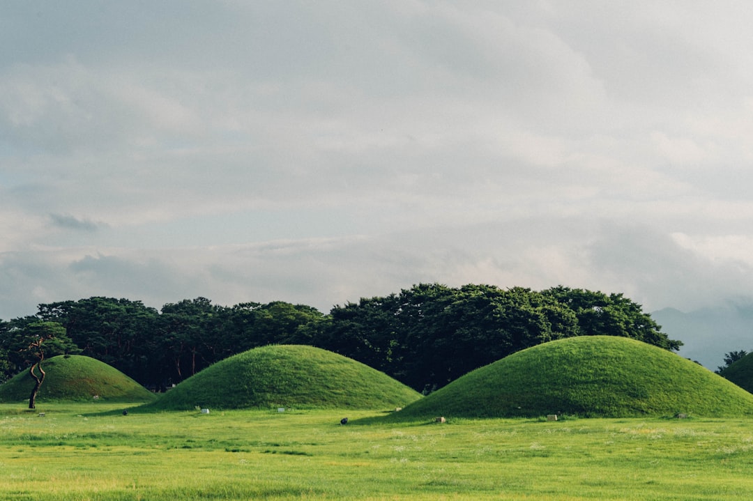
Featured Image

Photo by Christine Wehrmeier on Unsplash
Why is it important?
The area studied (Beaufort County, SC) is under threat of urban development as well as flooding and erosion caused by climate change. This is becoming a common occurrence in many coastal areas around the world. The technique applied here can record cultural features (mound deposits) with high rates of accuracy. These mounds are important for understanding a wide range of information about pre-contact Native American populations. This research can be applied within and far beyond the American Southeast, and can help to record parts of the archaeological record that are increasingly put at risk of destruction or damage.
Read the Original
This page is a summary of: Automated mound detection using lidar and object-based image analysis in Beaufort County, South Carolina, Southeastern Archaeology, June 2018, Taylor & Francis,
DOI: 10.1080/0734578x.2018.1482186.
You can read the full text:
Resources
Contributors
The following have contributed to this page