What is it about?
In many disciplines (e.g. forestry, nature conservation or agriculture) there is an interest to know the location of certain plant species or communities. Aerial Imagery derived from airplanes or Unmanned Aerial Vehicles can be used to identify the distribution of species or communities for large areas. In large spatial scales or multitemporal assessments, such an approach is ideally automized. However, so far there was no efficient technique that can accurately predict plant species or communities based on patterns and textures in aerial imagery. Accordingly, this study aims to test a deep learning approach for the automatic identification of plant species and communties in remote sensing aerial imagery.
Featured Image
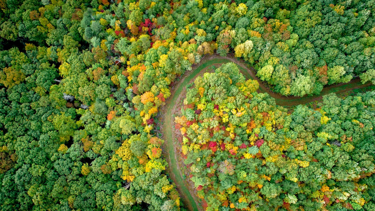
Photo by Nathan Anderson on Unsplash
Why is it important?
Deep learning - especially Convolutional Neural Networks (CNN) - are currently revolutionizing our capabilities for object detection in imagery. Such algorithms might allow us to efficiently harness the continuously growing availability of remote sensing imagery for vegetation analysis. So far, studies that used CNN to detect plant species or communities in aerial imagery remained scarce.
Perspectives
Our results highlight that Convolutional Neural Networks (CNN) together with the growing availability of remote sensing imagery will open up unprecedented possibilities for vegetation assessments.
Dr Teja Kattenborn
Karlsruhe Institute of Technology (KIT)
Read the Original
This page is a summary of: Convolutional Neural Networks enable efficient, accurate and fine-grained segmentation of plant species and communities from high-resolution UAV imagery, Scientific Reports, November 2019, Springer Science + Business Media,
DOI: 10.1038/s41598-019-53797-9.
You can read the full text:
Resources
Contributors
The following have contributed to this page