What is it about?
Flooding is recurrent in Nigeria, occurring yearly at different scales. This geared the need for a study to reveal local government areas (LGAs) that are at risk and vulnerable to flooding. The multi-criteria approach was adopted, using geospatial techniques and data. Factors considered were elevation, slope, rainfall intensity, and distance to river. The factors were classified, reclassified, rated, and weighed in a systematic process. Nineteen states and 114 LGAs face high risks, especially communities in the Niger Delta, around the lagoons of Lagos, along River Niger, Benue, and the Cross-River. Also, 125 LGAs in 18 states face medium flood-risk vulnerability. Consideration the population density of communities, Lagos State is the most vulnerable because of LGAs with high population densities within high flood-risk zones. Other states with communities exposed to high flood-risk vulnerability include Rivers, Kogi, Cross River, Akwa Ibom, Anambra, and Delta.
Featured Image
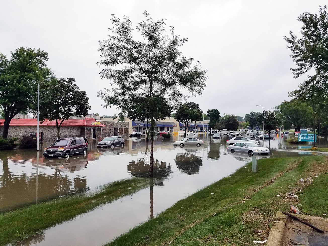
Photo by jim gade on Unsplash
Why is it important?
The study provides information key to proactive policy formulation, mitigation, and adaptation to flood risk in Nigeria.
Read the Original
This page is a summary of: A Geospatial Expose of Flood-Risk and Vulnerable Areas in Nigeria, International Journal of Applied Geospatial Research, July 2020, IGI Global,
DOI: 10.4018/ijagr.20200701.oa1.
You can read the full text:
Contributors
The following have contributed to this page


