What is it about?
The marshes on the southern shore of Lake Balaton have been profoundly transformed by human activities. The study shows changes in the areal proportions of land use classes and also quantitatively analyses landscape pattern, i.e. the configuration of landscape patches at different dates, from 1783 to 2020. For this purpose, archive maps were digitized, CORINE land cover datasets and Sentinel-2 satellite imagery were employed. The indices used were patch perimeter, area, neighbourhood and diversity metrics. It was pointed out that in land cover, the share of wetlands considerably declined over the centuries but in recent decades somewhat expanded. In the 20th century, grasslands were the predominant land use class, but with the spread of other categories, land use has become more complex. Landscape metrics show an increased fragmentation of natural habitats, a higher number of patches and edge density, leading to higher landscape diversity. Rehabilitation proposals include the establishment of rainwater retention reservoirs, the conversion of arable land which cannot be cultivated profitably to close-to-natural classes (first of all, grasslands) and the plantation of gallery forests of native tree species along canals.
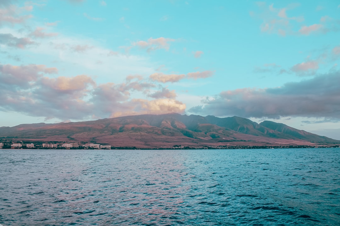
Featured Image
Why is it important?
Wetlands need special attention in landscape planning, particularly in touristically focal areas like Lake Balaton.
Perspectives
The paper is an important first step in the academic career of one of my excellent PhD students, who is ready to apply cutting-edge landscape metrics which explain changes in landscape pattern. This publication could generate international contacts and cooperation in landscape research in the future.
Prof. Dénes Lóczy
University of Pécs
Read the Original
This page is a summary of: Long-Term Land Use and Landscape Pattern Changes in a Marshland of Hungary, Sustainability, November 2021, MDPI AG,
DOI: 10.3390/su132212664.
You can read the full text:
Contributors
The following have contributed to this page