What is it about?
For the vegetation enthusiast.....Plant communities are groups of plants that occur in a common area and interact with each other, different animal populations and the physical environment. For the longest time, mapping plant communities has been thought to be a daunting task because it is considered a very expensive undertaking and needing high-end tech solutions. We have shown that we can identify and map different plant communities from free satellite imagery ie. Sentinel-2 in an affordable and scalable way, from local to global extents. Since plant communities provide useful habitat-utilization information for many animal species, we have examined if knowing the geographic locations of the different plant communities does in fact tell us more about the movement decisions of the elephant species based on their feeding preferences. And incredibly, we prove that the gender-specific dietary preferences determine which path a bull will take, which path (step-by-step) the females and calves in a family will take, and which path a group of a combination of bulls, females and calves in families will take!! For the elephant enthusiast.....Get the story on Save the Elephant's website https://www.savetheelephants.org/research/research-library/mapping-floristic-composition-using-sentinel-2a-and-a-case-study-evaluation-of-its-application-in-elephant-movement-ecology-in-sagalla-kenya-2022/
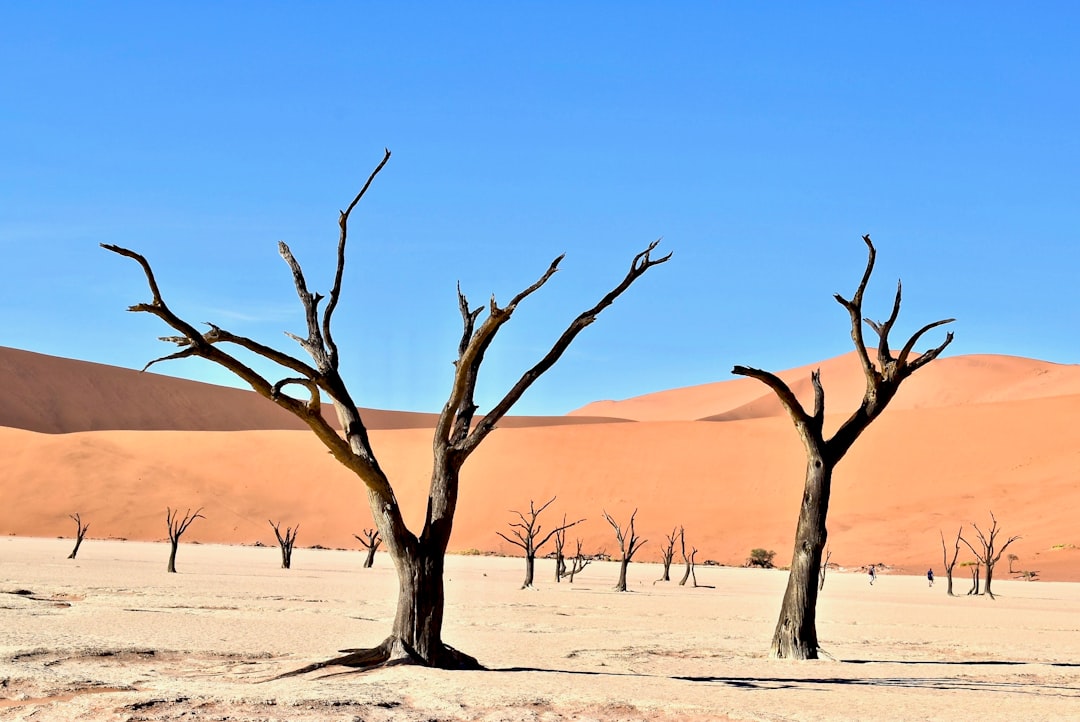
Featured Image

Photo by Kayla Duhon on Unsplash
Why is it important?
Our findings create a great opportunity in providing a common, affordable and scalable framework for governments, ecologists, environmental planners to map plant communities at a consistent scale, and with the provision for consistency in monitoring and tracking over time for applications in conservation, environmental planning and ecological restoration. What does this mean? 1. Can governments and institutions map large areas to the detail of plant species communities a lot more easily?- Yes!! With Sentinel 2, scope, consistency and re-mapping for monitoring trends is now achievable. 2. Can we investigate specific interactions of animal species with different plant species within communities in a specific geographical area? Yes!!
Perspectives
I hope this article demystifies what many people consider as either too complicated or equally boring and exhausting in the slightly abstract field of remote sensing and extracting things like vegetation to be quite interesting and possibly even exciting. So much happens in the natural environment, and tracking how different factors impact or are impacted by the vegetation structure and composition is an important undertaking that touches every single individual on this planet one way or another. Elephants are just one species that have helped us show the value in such data. We want to conserve our keystone species?... we want to conserve our natural environment?.... we want to find a working balance between nature and humans in the now and future world?.... we want to be prepared to handle the challenges of growing populations and adverse climate effects?.. It all begins with knowledge- Once we fill this gap in knowledge, we will be many steps closer to a biodiverse world. Most importantly, and if nothing else, I sure do hope you find this article captivating.
Gloria Mugo
Save the Elephants
Read the Original
This page is a summary of: Mapping Floristic Composition Using Sentinel-2A and a Case Study Evaluation of Its Application in Elephant Movement Ecology in Sagalla, Kenya, Remote Sensing, October 2022, MDPI AG,
DOI: 10.3390/rs14215386.
You can read the full text:
Resources
Contributors
The following have contributed to this page