What is it about?
Scientists use cameras on satellites, aircraft and ships to scan the earth (and other objects). This can help provide us with information about things like how temperatures are changing, how storms move, or what the sea bed looks like. This technique is called ‘remote sensing’. It is one of the ways scientists gather information about climate change. Once the information has been gathered, scientists need to analyze it. They sometimes share the computer programs they have written to do this. One example is the “Continuous Change Detection and Classification algorithm” (CCDC). This helps scientists see changes in how land is being used. Google has recently made it a part of the Google Earth Engine. This has made it easier for scientists to look at these changes globally. Even with these advances, it is still hard to make sense of the information that comes out of these processes. In this project, the scientists made a new computer program. It takes information and turns it into pictures. This makes is easier to show how land use has changed over time.
Featured Image
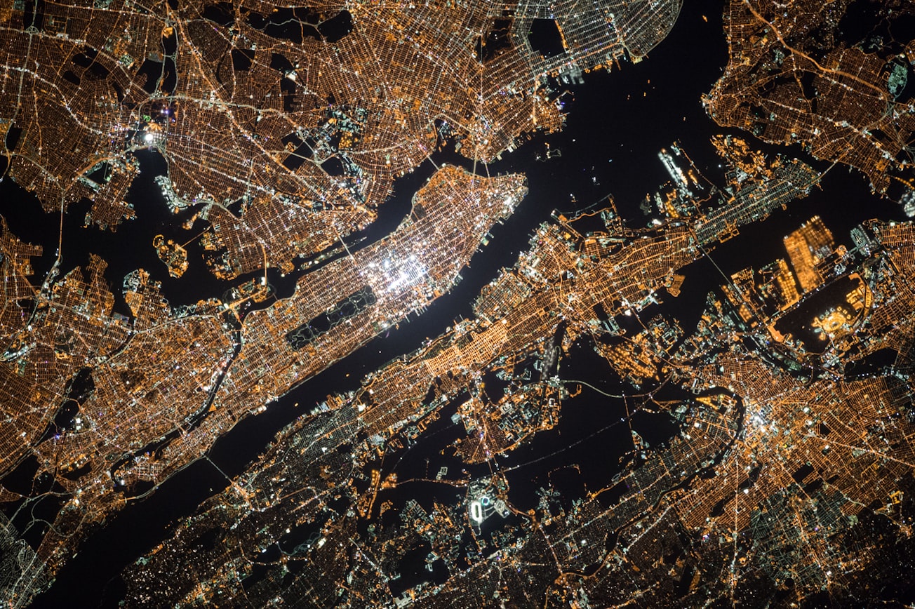
Photo by NASA on Unsplash
Why is it important?
This new program is speeding up the process of climate research. For example, it makes it easier and quicker for scientists to see when forests have been cut down. They can then bear this in mind when looking at other changes in the area, which may help in understanding cause and effect.
Read the Original
This page is a summary of: A Suite of Tools for Continuous Land Change Monitoring in Google Earth Engine, Frontiers in Climate, December 2020, Frontiers,
DOI: 10.3389/fclim.2020.576740.
You can read the full text:
Resources
Why does extreme weather cause people to cut down trees?
Weather shocks cause people to move around. We need to do more research to understand how often weather shocks have led to deforestation. This will help governments make informed decisions about how to reduce deforestation while still supporting their citizens.
Why forests are important to our physical and mental health
Natural spaces such as forests are important for our physical and mental health.
Climate Change Knowledge Cooperative
Explore the wider collection of climate change research summaries.
Contributors
Be the first to contribute to this page


