What is it about?
The NW corner of the Caribbean Plate is complicated by the presence of a continental type block, the Chortis Block, within a mostly oceanic plate and a combination of a slip-strike boundary to the north running from the Belize-Guatemala border with a subduction zone to the west where the Cocos Plate is subducted beneath the Caribbean Plate, and an extinguished subduction zones to the north and south, were the Caribbean Plate was temporarily subducted beneath the Maya and Chortis Block. We believe that the migration of the Chortis block in an S-SW and then N direction was one of the mechanisms responsible for the changes observed among the ophiolitic complexes in Guatemala. We are introducing the idea of the pre-existence of a trench associated with the Motagua-Jalomáx slip-strike fault system near the north border of Honduras, currently filled up and destroyed by the northward migration of the Chortis Block. Also we introduce the idea of an orogenic event - The Chuacús Orogeny - probably the same age as the Laramide Orogeny in North America. We postulate that the Chuacús Orogeny pushed younger ophiolites complexes in Guatemala to the surface and is responsible for the metamorphic basin of Central Guatemala - The Chuacús Series. The obduction of the oldest ophiolites on the western end of the belts may have being caused by the passing by of the Jamaica block on its way to its present position south of Cuba. The Caribbean Plate (Fig. 1) is the result of the Mesozoic-Present interaction of the Nazca, Cocos, North, and South American plates. The margins of these plates are large deformed belts resulting from several compressional episodes that started in the Cretaceous and had been followed by tensional and strike-slip tectonics. Any final model of the geological evolution of an area must comply with the facts. Regrettably, almost all “facts” are the direct result of man-made observations, which in many cases can be bios (intentionally or not). Also, it is common the lack of enough data to control the validity of the model in certain areas. Finally, there are also cases when the same “fact” can be interpreted in different, self-excluding ways. If this is all true, why then bother trying to create “the final model”? Because models, finals, intermediates or working ones like the one that will be introduced here, are the tool to guide the work of the geologists to gather the necessary information to prove or disprove their ideas. A model can also “predict” the existence of certain data or suggest the incorrectness of certain observation. Finally, a model could be an excellent exploration tool. We are still far from being ready to present the final model for the Caribbean Plate, and that there are several intermediate models that deserve further data collection. Since most of the current collection of data is concentrated along the north, east and south limits of the Caribbean Plate, I would like to add to this database my working model of the northwest corner of the Plate, especially from the area of Central Guatemala. The main difference of this sixth edition from all previous one then is the introduction of a dynamic understanding of the interaction of the NW corner of the Caribbean Plate with the Maya and the Chorits Blocks.
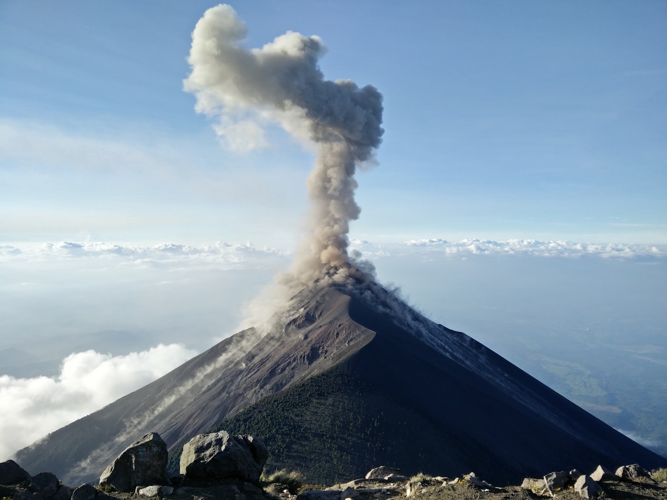
Featured Image

Photo by Gary Saldana on Unsplash
Why is it important?
A summary of the current geological and geochemical knowledge of Guatemala.
Perspectives
Includes a field guide that will familiarise the reader with the geology of the region.
P. Geo., M. Sc Ricardo A Valls
Valls Geoconsultant
Read the Original
This page is a summary of: Geology and Geochemical Evolution of the Ophiolitic Belts in Guatemala. A field Guide to nickel bearing laterites, July 2018, Center for Open Science,
DOI: 10.31219/osf.io/7tm8w.
You can read the full text:
Contributors
The following have contributed to this page


