What is it about?
Damage detection method based on the machine learning
Featured Image
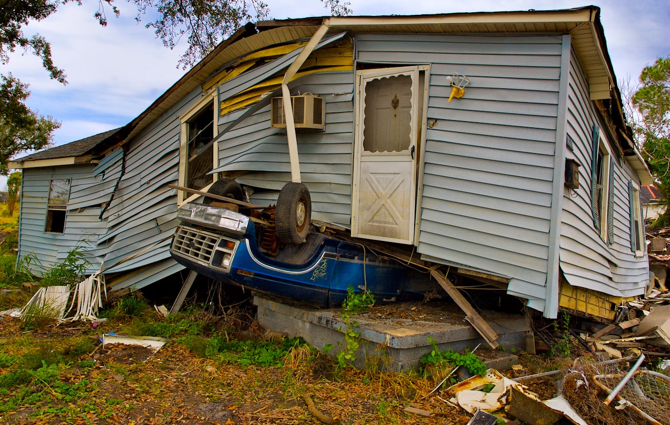
Photo by John Middelkoop on Unsplash
Why is it important?
This article presents a method for detecting damaged buildings in the event of an earthquake using machine learning models and aerial photographs.
Perspectives
We initially created training data for machine learning models using aerial photographs captured around the town of Mashiki immediately after the main shock of the 2016 Kumamoto earthquake. All buildings are classified into one of the four damage levels by visual interpretation.
shohei naito
National Research Institute for Earth Science and Disaster Resilience
Read the Original
This page is a summary of: Building-damage detection method based on machine learning utilizing aerial photographs of the Kumamoto earthquake, Earthquake Spectra, February 2020, SAGE Publications,
DOI: 10.1177/8755293019901309.
You can read the full text:
Contributors
The following have contributed to this page


