What is it about?
We used a WRF model simulation to investigate what happened during the tornado outbreak of 24 August 2016. We found that elevated unorganized convection transitioned to surface-based supercellular convection. Weakened mixing owing to anvil cloud shading ahead of the storm preserved vertical wind shear and thus horizontal vorticity. This led to greater storm-relative helicity values in the cloud shaded region ahead of the storm, permitting the formation of an intense supercell once this helicity-rich air near the surface was ingested. Weak rotation in elevated storms may have helped in the transition to surface-based convection through non-linear dynamic pressure perturbation accelerations.
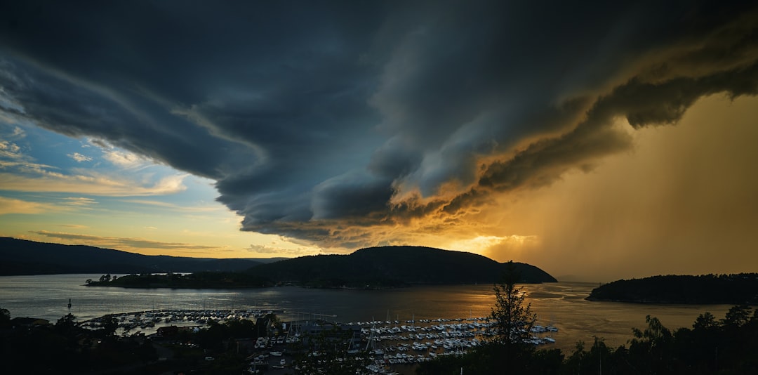
Featured Image

Photo by Nikolas Noonan on Unsplash
Why is it important?
This tornado outbreak came as a surprise to many meteorologists. An understanding of this event may aid in recognizing future tornado outbreak situations.
Read the Original
This page is a summary of: Investigating the Transition from Elevated Multicellular Convection to Surface-Based Supercells during the Tornado Outbreak of 24 August 2016 Using a WRF Model Simulation, Weather and Forecasting, August 2019, American Meteorological Society,
DOI: 10.1175/waf-d-18-0209.1.
You can read the full text:
Contributors
The following have contributed to this page


