What is it about?
Kelvin-Helmholtz waves ("wave clouds"), are often spotted on the edge of clouds due to their distinct rolls or billows. These clouds form from instability within a layer of wind shear that can also develop completely within a cloud. A radar flown on an University of Wyoming King Air aircraft can observe these in-cloud occurrences by measuring reflectivity and vertical motion.
Featured Image

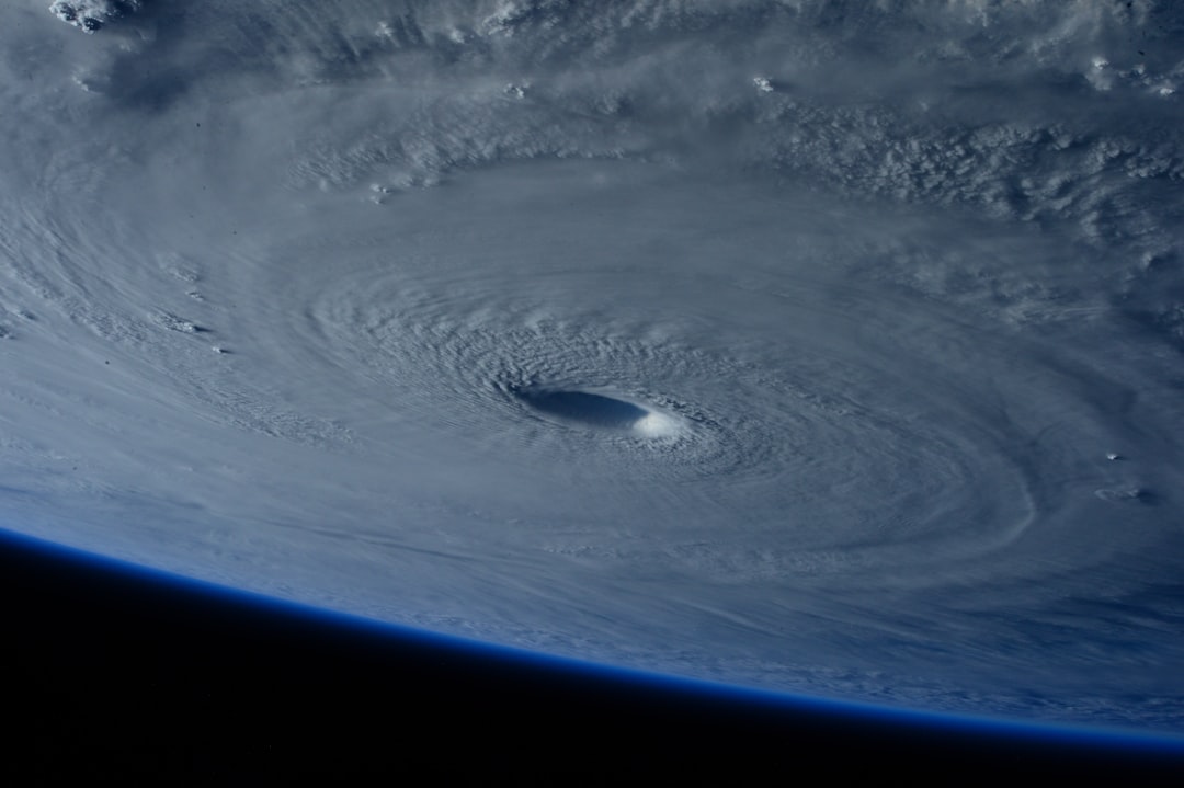
Photo by Samuel Sng on Unsplash
Why is it important?
The data collected by the airborne radar helps determine how frequently KH waves occur over mountainous terrain and where they may impact mountain rain and snow. By understanding how mountains help KH waves to form and how air moves through the waves we will be closer to understanding the importance of KH waves in the atmosphere and how they may increase (or decrease) precipitation.
Perspectives
It seems that mountains are very effective at producing KH waves. When air flows across mountains, the mountains can produce layers of shear in many different ways such as by blocking low level air or lifting slow air near the ground closer to fast moving air higher up. By creating shear they increase the likelihood of KH waves. When they occur inside of a cloud, the KH waves may increase precipitation by increasing saturation and or growing precipitation particles by turbulent collisions.
Coltin Grasmick
University of Wyoming
Read the Original
This page is a summary of: Detailed Dual-Doppler Structure of Kelvin–Helmholtz Waves from an Airborne Profiling Radar over Complex Terrain. Part I: Dynamic Structure, Journal of the Atmospheric Sciences, May 2020, American Meteorological Society,
DOI: 10.1175/jas-d-19-0108.1.
You can read the full text:
Contributors
The following have contributed to this page


