What is it about?
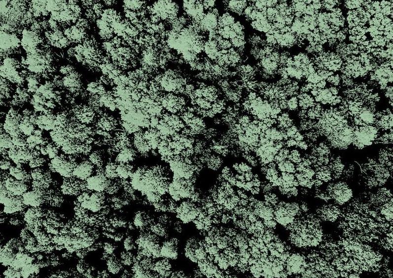
The research performs the discrimination of terrain containing different types of crops using statistical methods. The terrain is captured using Polarimetric SAR which is microwave image sensing technology.
Featured Image
Why is it important?
Our findings has many important applications in agriculture monitoring, resource assessment and management, crop prediction and estimation. It overcomes the limitations of the images captured using optical images.
Perspectives
I hope this article gives insight over the discrimination of croplands using machine learning methods. Using Polarimetric SAR imaging is kind of interesting and very exciting because it captures the images even during night unlike the optical imaging.
Nilam Chaudhari
Dhirubhai Ambani Institute of Information and Communication Technology
Read the Original
This page is a summary of: Discrimination of multi-crop scenarios with polarimetric SAR data using Wishart mixture model, Journal of Applied Remote Sensing, August 2021, SPIE,
DOI: 10.1117/1.jrs.15.034514.
You can read the full text:
Contributors
The following have contributed to this page