What is it about?
We compare two AI approaches for classifying different types of land from satellite images. One approach uses a pretrained MobileNet model, while the other incorporates uncertainty estimation into the classification process. The methods were evaluated on two satellite image datasets, with MobileNet achieving about 97% accuracy and the uncertainty-aware approach reaching around 90%.
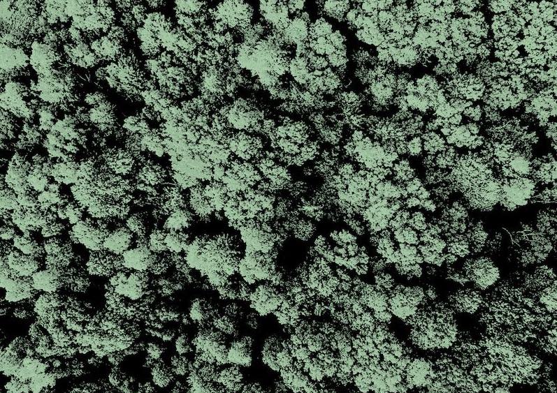
Featured Image

Photo by ImaginEarth La Terre En Images on Unsplash
Why is it important?
Land-cover classification supports tasks such as urban planning and environmental monitoring. This study offers a side-by-side comparison that may help researchers choose between accuracy and uncertainty estimation.
Perspectives
This work may be of interest to researchers working on remote sensing, land-cover classification, and uncertainty-aware machine learning. The results also suggest that future research could explore ways to combine the strong performance of pretrained models with reliable uncertainty estimation.
Zainab Malik
Read the Original
This page is a summary of: Transfer and Bayesian Learning Approaches for Land Use and Land Cover Classification, March 2025, Institute of Electrical & Electronics Engineers (IEEE),
DOI: 10.1109/esci63694.2025.10988427.
You can read the full text:
Contributors
The following have contributed to this page