What is it about?
This study aims to detect the LULC dynamics, NDBI, NDVI changes and their interrelationship in Addis Ababa City, Ethiopia. The cloud-free Landsat satellite images have been used (28 Jan 2000, 10 Jan 2011 and 21 Jan 2021) for the present study. The following three major LULC types: vegetation, built-up areas, and bare land, have been identified in the present study area. The total areal extent of the current study area is 539 Sqkm. In 2021, the built-up area has increased (17.80%) as compared to 2000 as well as the barren area also increased by 7.38 % from 2000 to 2021. In contrast, the vegetated area has decreased (30.49%) in 2021 compared to 2000. The present study NDVI values are (-0.51 to 0.83, -0.16 to 0.77, and - 0.14 to 0.75) for the years 2000, 2011, and 2021, respectively. The NDBI has also been calculated through the standard band algorithm using short wave infrared and infrared images in the ArcGIS environment. The present study shows the NDBI values (-0.56 to 0.47, -0.35 to 0.62, and -0.40 to 0.66) for 2000, 2011, and 2021.
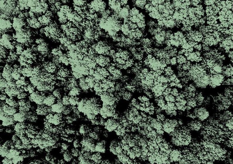
Featured Image
Why is it important?
The study outcome confirmed the urban growth and considerable loss of vegetative cover in the present study area. The study results area is crucial for planners and administrators for effective LULC planning in Addis Ababa City, Ethiopia.
Perspectives
The study outcome confirmed the urban growth and considerable loss of vegetative cover in the present study area. The study results area is crucial for planners and administrators for effective LULC planning in Addis Ababa City, Ethiopia.
muralitharan jothimani
Arba Minch University
Read the Original
This page is a summary of: Study the land use/land cover, NDVI, and NdBI dynamics of Addis Ababa city, Ethiopia, by using satellite image processing techniques, January 2022, American Institute of Physics,
DOI: 10.1063/5.0095199.
You can read the full text:
Contributors
The following have contributed to this page