What is it about?
The present study examined the geospatial datasets concerning fire points, topography, vegetation types, tree cover percent, ecological zone, and climate to understand the prospects of forest fire in Nepal. The GIS-based modeling approaches in association with multispectral satellite-derived data were used for future fire prediction in villages. The analysis highlights the vegetation types such as Tropical lowland, broadleaved, evergreen forests (<1000 m) retain the highest fire risk. The fire intensity was found higher in the area of high tree cover density, lower elevated and lower slopes. The highest number of fires was found in the year 2016 and 91% of the forest fire occurs in March, April, and May i.e., hot and dry pre-monsoon season. The statistical analysis such as Crammer's V coefficient (CVC) significantly highlights a strong association of forest fire with precipitation (0.67) and temperature (0.41). It was found that 302 villages of the total of 3967 villages are found to be a potentially high fire risk in present scenario and 20 villages of the potential fire risk villages are predicted as critically fire risk (greater than 80%) in future. The eventual impact of such fire affects human health, life and property. The study offers the fire prone areas in administrative and ecological levels which is useful for making policy, management, resource allocation and forest fire mitigation.
Featured Image
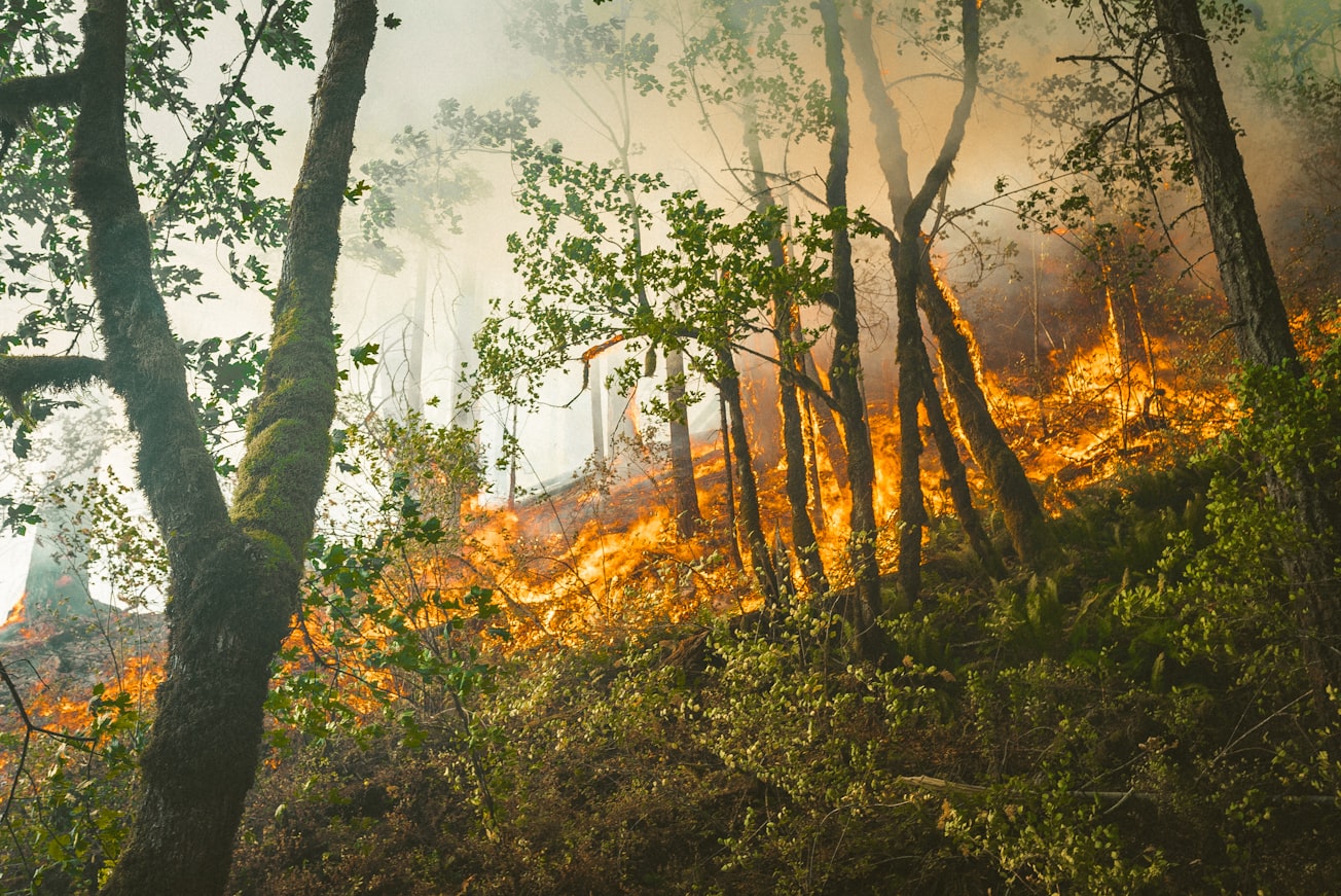
Photo by Karsten Winegeart on Unsplash
Read the Original
This page is a summary of: Predicting forest fire using multispectral satellite measurements in Nepal, Remote Sensing Applications Society and Environment, August 2021, Elsevier,
DOI: 10.1016/j.rsase.2021.100539.
You can read the full text:
Contributors
The following have contributed to this page


