What is it about?
Rock salt occurs in the bed of the Red Sea, in places up to kilometres in thickness. Many researchers are curious about the Red Sea - it is a new ocean basin forming by the rifting or breaking up of a continent. The salt deposits there are similar to those that form deep rock salt in the ocean off Brazil and Angola, where they are accompanied by deposits filled with oil. We have scanned and re-examined seabed images collected with a sonar in the late 1970s from the British research vessel Discovery along the whole length of the Red Sea. Although these data are quite old, they are unique in covering so much of the Red Sea and areas where there is currently no public information. The images reveal ridges caused by salt rising up in straight lines ("salt walls"). In some areas we observe evidence for flows of the salt, which form round fronts with folded surfaces, much like a folded carpet.
Featured Image

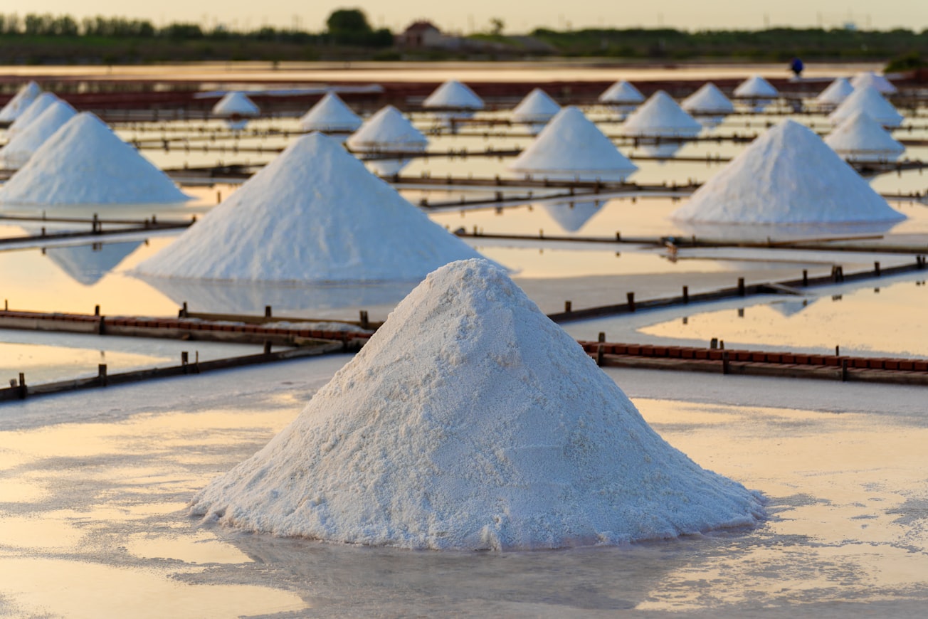
Photo by Timo Volz on Unsplash
Why is it important?
While these salt movements ("halokinetics") are well known in the Red Sea, the data show possible links with the shape of the basement underlying the salt deposits (which are revealed by the gravity field). Salt flows occur at where a major lineament crosses the Red Sea (Zabargad Fracture Zone), which is evidence that it has been extending.
Perspectives
There is a tremendous amount of information still available in old datasets such as this. It can be very appealing to work on these old data, particularly when they help to reveal new information in areas such as the Red Sea.
Dr Neil C. Mitchell
University of Manchester
Read the Original
This page is a summary of: Halokinetics and other features of GLORIA long-range sidescan sonar data from the Red Sea, Marine and Petroleum Geology, December 2017, Elsevier,
DOI: 10.1016/j.marpetgeo.2017.09.017.
You can read the full text:
Contributors
The following have contributed to this page


