What is it about?
People have attempted to classify (map out) different seabed types using from sidescan sonar images, using aspects of acoustic backscatter intensity or image texture. Others have classified bathymetry using other characteristics. In this study, an attempt was made to classify an area of eroded and partially sedimented area of the Scotian Shelf using characteristics of both bathymetry and acoustic backscatter. We simply defined sediment ponds as low-gradient, low curvature terrains with low backscatter. Using characteristics representing each of these properties, we were able to map out sediment ponds efficiently. Once mapped out, the classification can in turn be used to investigate the properties of the mapped feature; here we showed that the sediment ponds are all dipping slightly towards the southeast (a likely result of offshore transport of fine particles during storms, i.e., wind-driven circulation). Ridges and troughs were also mapped out using a combination of curvature and gradient by fitting a paraboloid to groups of data. This allowed us to study the structural fabric formed by erosion of the underlying rocks.
Featured Image
Why is it important?
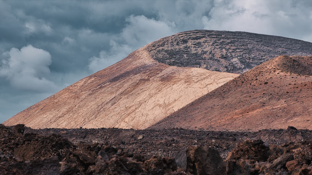
An illustration of the benefits of classifying data from seabed mapping sonars using characteristics of both their bathymetry and acoustic backscatter data.
Read the Original
This page is a summary of: Classification of seafloor geology using multibeam sonar data from the Scotian Shelf, Marine Geology, November 1994, Elsevier,
DOI: 10.1016/0025-3227(94)90027-2.
You can read the full text:
Contributors
The following have contributed to this page