What is it about?
Accessibility is a critical challenge facing wheelchair users and people with limited mobility. To find shops, restaurants, or attractions to visit they need clear information about the facilities and access. Professional cartographers and data collectors ignore this vital data as it has no monetary value. Crowdsourced mapping projects, such as OpenStreetMap, do, however, collect this data through a network of volunteers. Yet how can such volunteer generated data be presented to wheelchair users in a way they find useful? We address this issue and present a design approach to make crowdsourced data relevant.
Featured Image
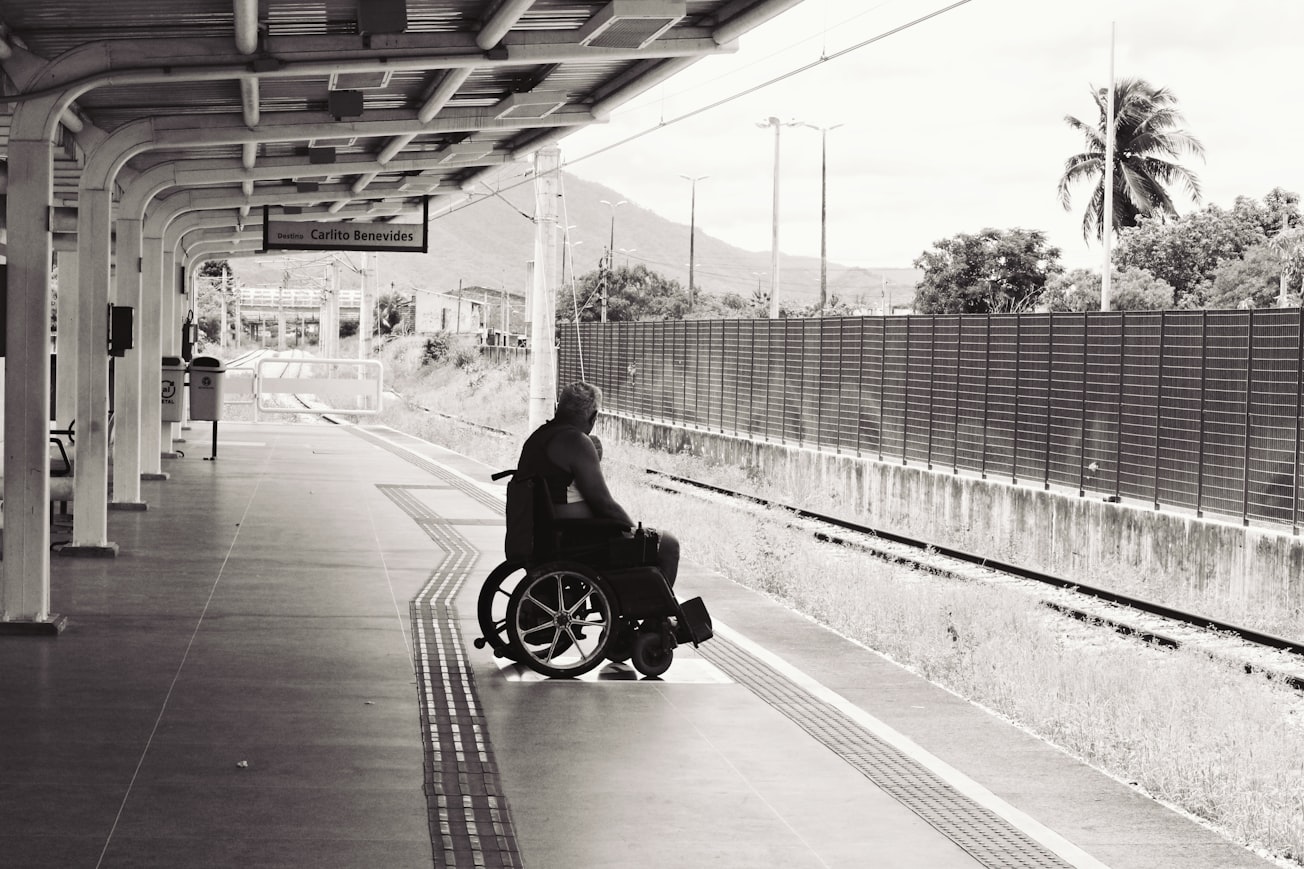
Photo by Igor Rodrigues on Unsplash
Why is it important?
We prove that crowdsourced information can, and should, play a vital role in helping wheelchair users and others with transport limitations (e.g. parents with prams) explore the built environment without limitations. Our research, therefore, encourages app designers and GIS professionals to embrace crowdsourced data to help wheelchair users. To help Designers work with GIS professionals, we present, and test, a concept app with wheelchair users: with highly positive results. Our framework, therefore, directs the design of accessible travel information apps.
Perspectives
This study ran parallel to my PhD and was a joy to work on since it used and confirmed many of hē theory and observations that came out in my previous work. I hope this paper can lead tourist information boards and local councils to create travel information platforms that work better for the many, not just the few.
Dr Christopher J. Parker
Loughborough University
Read the Original
This page is a summary of: Evaluating a concept design of a crowd-sourced ‘mashup’ providing ease-of-access information for people with limited mobility, Transportation Research Part C Emerging Technologies, December 2014, Elsevier,
DOI: 10.1016/j.trc.2014.10.007.
You can read the full text:
Resources
Contributors
The following have contributed to this page