What is it about?
We have analyzed forest fire points with respect to various gradient
Featured Image
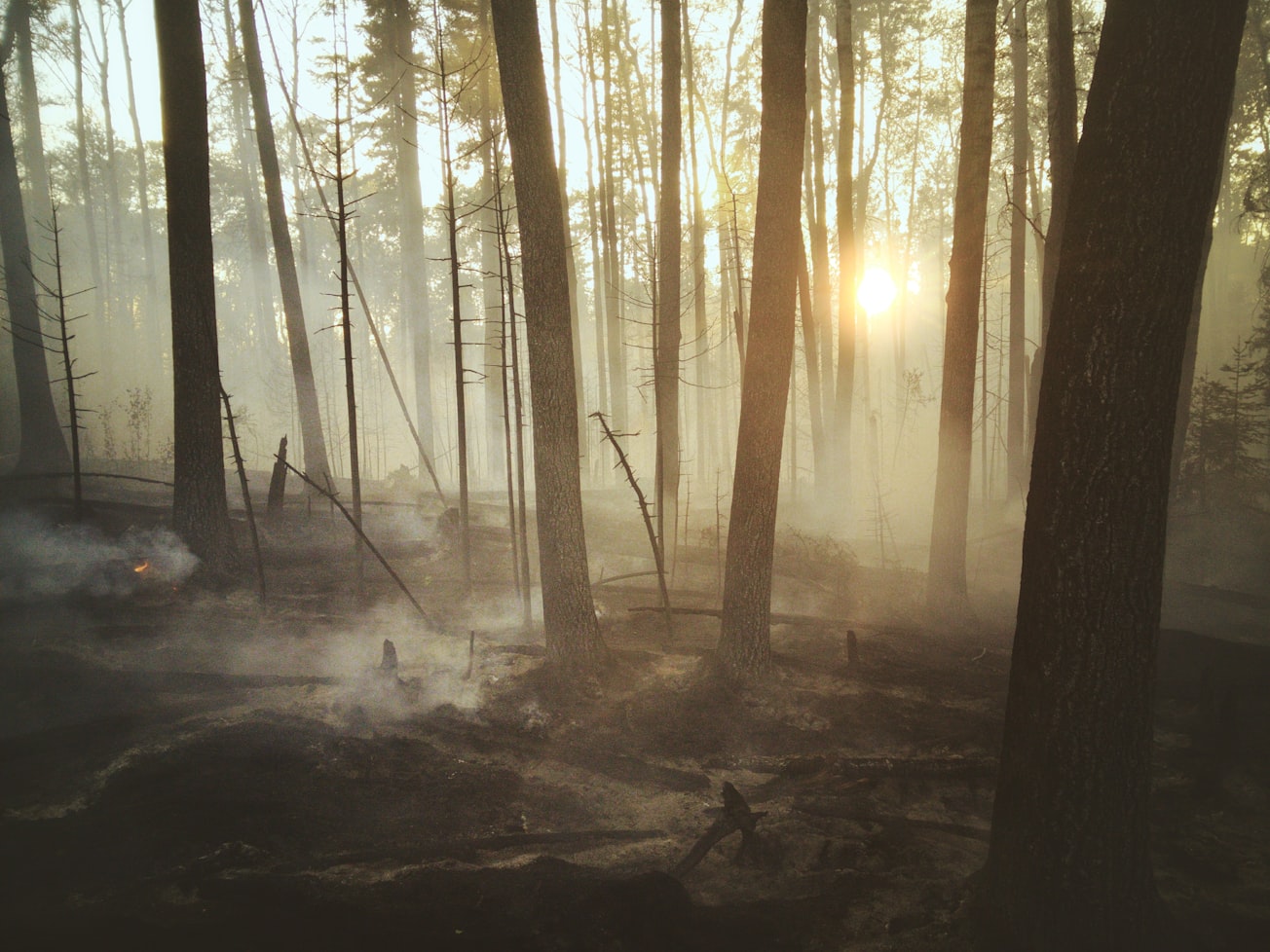
Photo by Landon Parenteau on Unsplash
Why is it important?
Monitoring and management of forest fire is imperative in India where 50% of forest cover is prone to the fire. The study aims for applying the geospatial technology towards forest fire characterization and evaluation of relationship with meteorological thematic layers. Spatial analysis of forest fires in the state of Arunachal Pradesh was carried out based upon the decadal (2008–2016) forest fire count datasets, which was assessed for spatial variability over the known Himalayan biodiversity hotspot in diverse geographical and socio-economic gradients. Result suggested that Kameng districts had maximum fire incidences (25.2%) whereas it has 15.2% of state forest, established the districts as ‘forest fire hotspot’ in the state. Maximum number of incidences (88%) occurred in areas of low elevation (< 1500 m). There was high correlation with socio-economy where 42.3% forest fire points falls in high poverty index areas and 73% of fire incidences in the areas having population density 6–50. All districts showed high fire incidences, therefore an urgent intervention is greatly required by the policy makers towards conservation and management of forest fire prevention and control by adopting focused intervention, strategic allocation of limited resources in potent areas in order to safeguard Himalayan region of highest biodiversity.
Read the Original
This page is a summary of: Himalayan forest fire characterization in relation to topography, socio-economy and meteorology parameters in Arunachal Pradesh, India, Spatial Information Research, February 2018, Springer Science + Business Media,
DOI: 10.1007/s41324-018-0175-1.
You can read the full text:
Contributors
The following have contributed to this page


