What is it about?
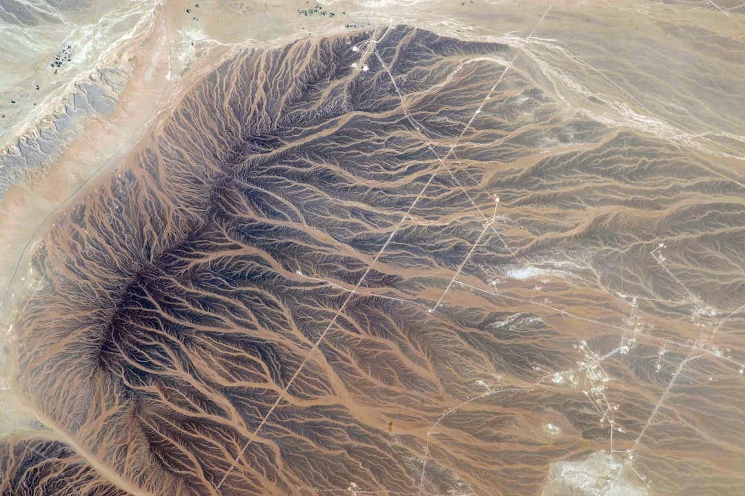
New maps of Earth's gravity field (which are derived from accurate measurements of the elevation of the sea surface) reveal various lineaments or lines around the Pacific equator. Because the seabed is more dense than sea water, often the shape of the seabed is revealed in these gravity data and in the shape of the sea surface. In this article, we first confirm some of the variations observed in the gravity data are caused by bumps and valleys in the seabed (or rather in the solid rock beneath the sediments) using seismic reflection data from three research cruises. We then show that some of these lineaments are parallel to the movement of the Pacific tectonic plate over the mantle, hence they are compatible with suggestions made by earlier researchers that they could be caused by anomalies in the mantle (melting and convection). However, some have orientations that are not compatible. The mantle beneath the rigid outer surface is relatively fluid. We speculate that finger-like movements in this "asthenosphere" mantle could result in some the lines we see at the surface.
Featured Image

Photo by Fabrizio Conti on Unsplash
Why is it important?
Inter-fingering in the asthenospheric mantle would suggest that it has more varied viscosity than previously thought and the pressure variations caused by topography of the plate are sufficient to cause it to flow.
Read the Original
This page is a summary of: Equatorial Pacific gravity lineaments: interpretations with basement topography along seismic reflection lines, Marine Geophysical Research, March 2018, Springer Science + Business Media,
DOI: 10.1007/s11001-018-9351-x.
You can read the full text:
Contributors
The following have contributed to this page