What is it about?
Shannon's entropy, frequency ratio, and weight of evidence have been used to identify food susceptibility in the Kopai river basin. According to the results of these three models, the upper reach of the basin is comprised of non fooded areas, while the lower part of the basin is home to extensive fooding. This makes the lower part of the basin more susceptible than the upper part. The fnal result of food susceptibility zones is obtained using 11 thematic layers such as rainfall, soil moisture index, soil types, surface roughness,distance to the river, elevation, slope, drainage density, land use and land cover, normalised diference vegetation index, and normalized diference water index.
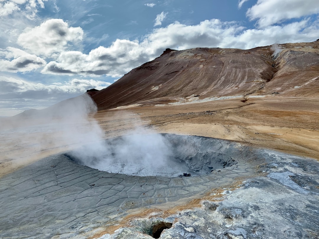
Featured Image

Photo by Mateus Guimarães on Unsplash
Why is it important?
Improving food management plans and policies after demarcating its food susceptibility character.
Perspectives
In various basin flood research investigations, many machine learning and statistical models have been applied. However, the Kopai river basin in eastern India is small and is primarily refilled by rainfall during the monsoon season. As a result, major flooding occurs from June to September. In this regard, a fantastic plan is required to manage property damage. For small basins like Kopai, no such work has been done to identify food susceptibility zones using machine learning methodologies..
Prolay Mondal
Raiganj University
Read the Original
This page is a summary of: A comparative evaluation of GIS based flood susceptibility models: a case of Kopai river basin, Eastern India, Arabian Journal of Geosciences, October 2023, Springer Science + Business Media,
DOI: 10.1007/s12517-023-11693-7.
You can read the full text:
Contributors
The following have contributed to this page


