What is it about?
This study assesses the spatiotemporal development of land use systems and climate variability in Southwestern Ghana over the past five decades using integrated remote sensing techniques and existing literature.
Featured Image
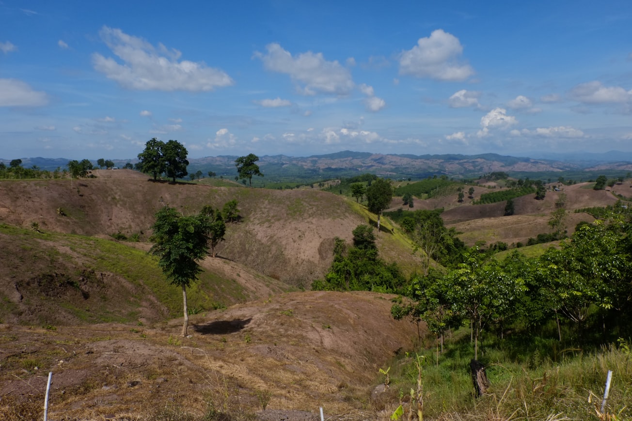
Photo by Boudewijn Huysmans on Unsplash
Why is it important?
The study serves a seminal guide to land use developers and institutors for effective and sustainable use of natural resources. We demonstrated that the synergies of satellite imagery and GIS technologies serve as powerful tools for mapping and detecting changes in Land Use Cover Change (LUCC)
Perspectives
A great regional study that would explicitly enrich basic datasets to propel country-level LUCC studies.
Dr Isaac Sarfo
Henan University
Read the Original
This page is a summary of: Spatiotemporal development of land use systems, influences and climate variability in Southwestern Ghana (1970–2020), Environment Development and Sustainability, October 2021, Springer Science + Business Media,
DOI: 10.1007/s10668-021-01848-5.
You can read the full text:
Resources
Contributors
The following have contributed to this page