What is it about?
The study utilized the tree covers per cent, agroforestry suitability, present and future (2050) climate, agriculture vulnerability (2050), percentage of people living Below Poverty Line (BPL) data sets and manoeuvered them in GIS platform to understand the agroforestry extent, potentiality and the critical multidimensional relationship among them. The total agroforestry area in India (if defined the tree cover per cent greater than 10% on agricultural land) was found to be 28 million hectares that is approximately 17% of the total agriculture land area which is remarkably less (global average 43%). The analysis further revealed that the agriculture land potential in India towards the agroforestry suitability category (S1: High suitability) is alone 75.6 million hectares that are 2.7 times of total existing agroforestry extent. Among all agro-ecological regions of India, the Eastern Plain agro-ecological region has high cropland potentiality which will help significantly in magnifying agroforestry set-up in the future. The analysis further revealed a very high poverty per cent (41–80%) category has approximately 5.3 million hectares of land under agroforestry, whereas the cropland potentiality (category S1) towards agroforestry was found approximately four times of the present agroforestry extent. The Western Ghats and the Coastal Plain agro-ecological region maintain a diversified agroforestry environment that will face double risk in the future (2050) due to precipitation deficit and also from significant temperature increase. Our analysis highlights the important agroforestry-related findings that will assist crucially to the decision-makers of India for implementing synergic strategies/planning of agroforestry at country/state/district/village levels. … Read more
Featured Image
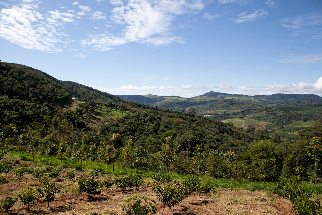
Photo by PROJETO CAFÉ GATO-MOURISCO on Unsplash
Why is it important?
Why the present research is important?1. India has adopted an agroforestry policy five years back which needs a detailed scientificevaluation/assessment/report of the agroforestry extent at the country.2. The present agroforestry extent and the cropland capacity/potentiality for agroforestry inIndia are used together and investigated in the GIS domain which will critically addressthe important research findings at the country level.3. Our study significantly supports the future of agroforestry policy dynamics in terms ofadequate future strategies for agroforestry extension/venture in new cropland potentialagro-ecological regions of India.4. The study highlights the critical spatial relationship of poverty, present and future cli-mate characteristics for the present agroforestry extent and cropland potentiality thatare addressed first time at the country level of India which will certainly communicatethe future agroforestry harmonized design at different stages of project implementation.
Read the Original
This page is a summary of: Agroforestry environment, potentiality and risk in India: a remote sensing and GIS understanding, Environment Development and Sustainability, February 2021, Springer Science + Business Media,
DOI: 10.1007/s10668-021-01292-5.
You can read the full text:
Contributors
The following have contributed to this page