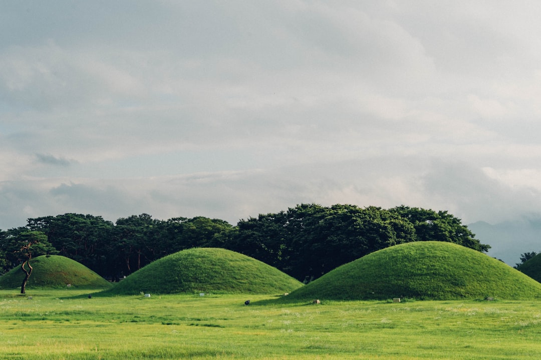
What is it about?
This paper present the results of a geophysical survey of half of the Roman town of Verulamium. The entire available area within Verulamium Park has been surveyed using magnetometry, and selected areas using GPR, Earth Resistance and Magnetic Susceptibility. The work has been undertaking by a group of local voluntary archaeologists under the supervision of the author.
Featured Image
Why is it important?
Verulamium is the largest town in Roman Britain without a modern town built on top of it. It was, however, the only one not to have a complete geophysical survey. This paper represents one step on the way and contributes not only to our understanding of the town, but also to towns in Roman Britain and Roman urbanism more generally.
Perspectives
This work is part of that undertaken by the Community Archaeology Geophysics Group (CAGG: see hertsgeosurvey.wordpress.com). This group has undertaken many surveys of which this is but one. It also contributes to my longstanding interests in the archaeology of Hertfordshire, Roman urbanism and geophysical survey.
Dr Kris Lockyear
University College London Institute of Archaeology
Read the Original
This page is a summary of: Under the Park. Recent Geophysical Surveys at Verulamium (St Albans, Hertfordshire, UK), Archaeological Prospection, September 2016, Wiley,
DOI: 10.1002/arp.1548.
You can read the full text:
Contributors
The following have contributed to this page


