What is it about?
A volcanic cone (Capelinhos) was created in western Faial island, Azores during an eruption in 1957/58. Since then, erosion by waves and rain has steadily reduced the size of this volcanic promontory. We have used successive aerial photographs to work out how rapidly it has shrunk, leaving behind a submarine platform. Erosion was fast at first, but has since slowed dramatically. We explore how waves loose energy crossing the platform, potentially explaining this slowing (greater energy loss occurred as the platform became wider). Also considered are sizes of cliff landslides, as the debris produced by them temporarily protect the cliff base, and varied strength of the eroded materials.
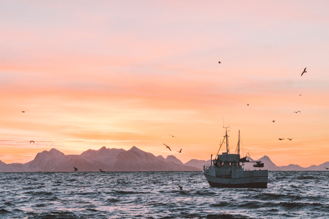
Featured Image

Photo by Yoko Correia Nishimiya on Unsplash
Why is it important?
How fast rocky coasts retreat by erosion not so well known as the process is slow, so the rapid erosion of Capelinhos, because of its weak materials and exposure to energetic Atlantic waves, is useful to observe the process speeded up. There are many submerged banks in the Azores and similar oceanic islands without coral reefs - our work may help to resolve how they were formed. Furthermore, the changing morphology of such features and the banks they leave behind steadily change the wave field, hence this may help understand variations in coastal erosion around other parts of the coasts. Some studies extrapolate erosion assuming the rate will not change over time. In our study, we have allowed for the declining rate and estimate that Capelinhos, an important tourist site on Faial, is at risk of being lost by A.D. 2118.
Read the Original
This page is a summary of: Submarine Platform Development by Erosion of a Surtseyan Cone at Capelinhos, Faial Island, Azores, Earth Surface Processes and Landforms, August 2019, Wiley,
DOI: 10.1002/esp.4724.
You can read the full text:
Contributors
The following have contributed to this page


