Data
London Output Area Classification – London Datastore
The ability to understand the characteristics of an area and its population is crucial to decision making.
University of Liverpool Faculty of Science and Engineering

Professor Alex Singleton of the University of Liverpool has collaborated with academic and public sector partners to create London-focused geodemographic classifications from big data. This has improved policy insight and decision making in London. Geodemographic classifications are groupings of small geographical areas categorised by social and economic characteristics, which are created by applying sophisticated clustering algorithms to datasets of social and demographic variables. Policymakers and private developers depend on these classifications to better understand area and population characteristics.
In association with UCL and the Greater London Authority, Professor Singleton produced geodemographic classifications for London which draw upon successful 2011 Office for National Statistics methodologies. The London Output Area Classification uses over 60 census variables to group 32,000 small London areas into one of eight classificatory supergroups. These are subdivided into two to four groups which allow for further detail and insight across London. Pen portraits are given for each group, allowing users to see salient population characteristics and environmental features.
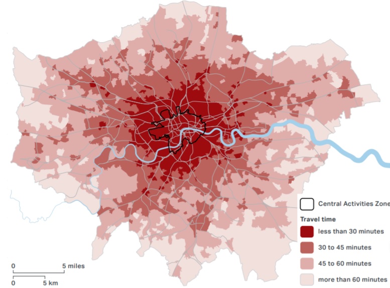
Professor Singleton’s contributions to the London classifications led to an expert advisory position when Transport for London developed its Transport Classification of Londoners. This classificatory tool categorises Londoners specifically based on the travel choices they make, and the motivations that drive them to those decisions. The London Output Area Classification was used as the basis for this tool and was supplemented with additional data gathered from other sources such as London travel demand surveys. Transport segments were then assigned, which guide public policy and private development in transport to ensure healthier and more sustainable approaches to travel in London.
Greater London has unique built and population structures that are not fully reflected within national geodemographic classifications. With its exceptional urban geographies and demographics, London’s policymakers require classifications distinct from national models in order to develop strategy effectively. As constrained finances across all sectors raise new challenges for service delivery, ensuring resources are allocated correctly is of paramount importance. Of equal concern are the high commercial costs of acquiring evidence for policymaking. Open source alternatives, like those developed by Professor Singleton, are crucial in enabling effective, affordable, and transparent policy decisions.
London-centric geodemographic classifications have many uses. Public sector bodies use them to facilitate the sharing of best practices through comparisons of the performance of key services across London. Beyond the creation and delivery of policy, the private sector has adopted the classifications as a more effective way of profiling areas for investment, and the third sector uses them to target resources to areas where they will have maximum impact.
Notably, the Transport Classification of Londoners features in the Mayor of London’s 2041 Transport Strategy. It is used in influencing behaviour towards sustainable transport and in gauging Londoners’ receptiveness to adopt healthier and more sustainable approaches to travel. In turn, it is used by London boroughs and private developers in funding and planning bids to evidence the ways in which their proposals align with the Greater London Authority’s commitment to making the capital a healthier and greener city to live in for all its residents.
The ability to understand the characteristics of an area and its population is crucial to decision making.
The Mayor's Transport Strategy sets out the Mayor’s policies and proposals to reshape transport in London over the next two decades.